The Union Pearson (UP) Express began operation in June 2015, in time for the 2015 Pan American Games. The service travels between Toronto's Union Station and Pearson Airport calling at Bloor and Weston stations.
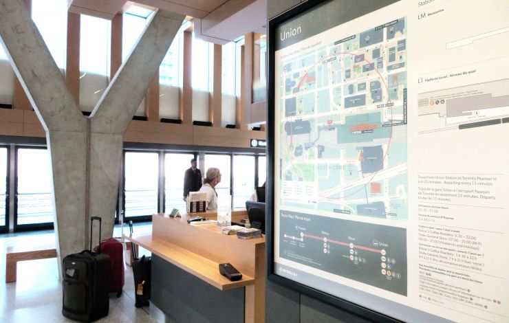
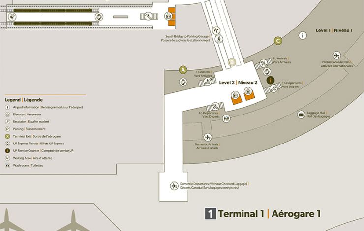
Our brief was to provide Union Pearson Express with nine different map outputs to be incorporated into printed information panels at Union, Bloor and Weston Stations and Pearson Airport. The maps include a local area map and station floor plan and are also available to download from the UP Express website.
Key to the development was the integration of the UP Express brand expression across the map products, building on the Toronto TO360 pedestrian wayfinding system, to contribute to a seamless customer experience. We were further able to incorporate the new city mapping system (TO360) within the information poster at Union station, providing a seamless link between transit and pedestrian wayfinding.


