The project consisted of design and preparation of documents for the South Sub-Regional Transport Plan (SRTP) updates for five London sub-regions. The SRTP was first developed in 2010 and it helped to translate the Mayor’s Transport Strategy goals, challenges and outcomes at a sub-regional level. Key challenges identified for all sub-regions were improving air quality, reducing CO2 emissions and increasing cycling and walking.
Steer created a desktop-published document for each sub-region, comprised of text, images and maps to provide a comprehensive update on the delivery of sub-regional transport plans against London-wide and sub-regional challenges.
Documents were required to convey a large amount of complex data in a user-friendly manner that cater for technical and non-technical users across Transport for London departments as well as the Boroughs.
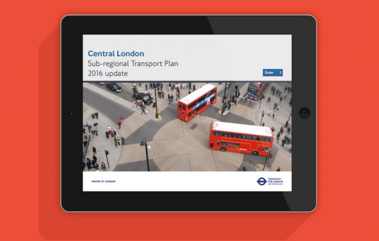
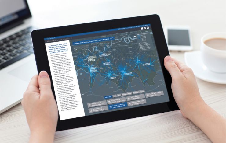
The first two SRTP updates designed by Steer (2013 and 2014) consisted of a A0 size summary map poster and an accompanying A4 size desktop-published document. Outputs for 2016 included the production of an interactive PDF.


